- Home
- Missions
- Data
- Communications
- People
- The Earth Observer Newsletter

Recent Imagery
You will be directed to the NASA Visible Earth webpage when you select Images by Mission below, or click on the images at right that are randomly generated to represent four out of all possible topics.
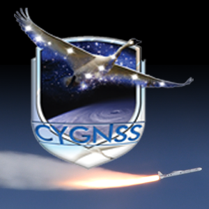
Eight Microsatellites, One Mission: CYGNSS
The Cyclone Global Navigation Satellite System (CYGNSS) launched into orbit at 8:37 AM EST, December 15, 2016, aboard an Orbital ATK air-launched Pegasus XL launch vehicle. The rocket was dropped and launched from Orbital’s Stargazer L-1011 aircraft, which took off from Cape Canaveral Air Force Station in Florida, over the Atlantic Ocean, off the coast of central Florida. CYGNSS is NASA’s first satellite mission to measure ocean surface winds in the inner core of tropical cyclones, including regions beneath the eyewall and the intense inner rain-bands that could not previously be measured from space. These measurements will help scientists to obtain a better understanding of what causes variations in tropical cyclone intensity, thereby improving our ability to forecast tropical cyclones such as Hurricane Katrina. To learn more about CYGNSS, read "Eight Microsatellites, One Misson: CYGNSS" in the November-December issue of The Earth Observer.
Content Link:
http://eospso.nasa.gov/sites/default/files/eo_pdfs/Nov-Dec%202016%20color%20508.pdf
Image:
Ordering:
39