- Home
- Missions
- Data
- Communications
- People
- The Earth Observer Newsletter
Recent Imagery
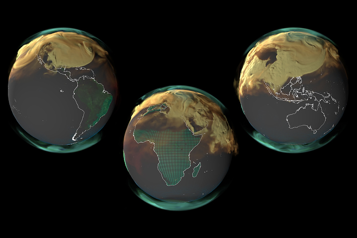
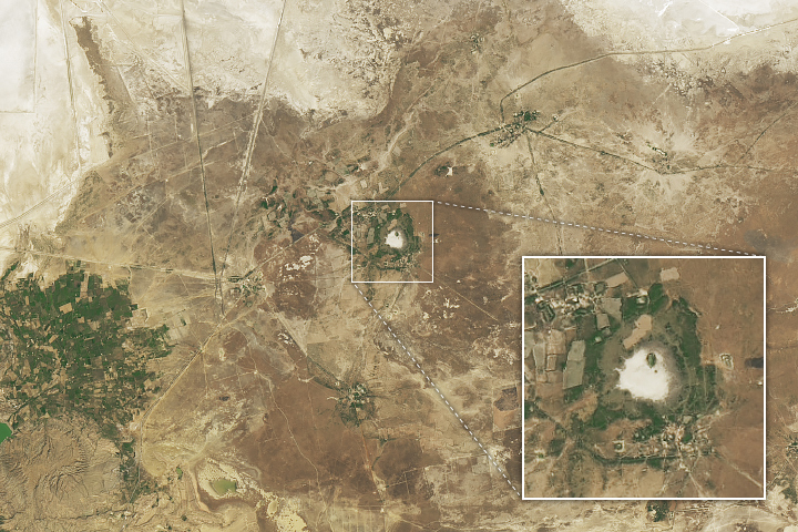
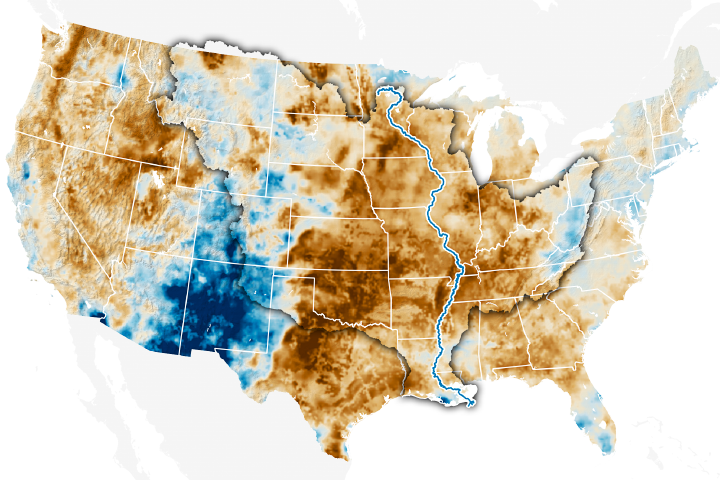
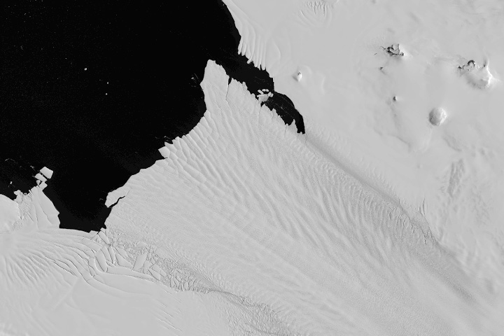
You will be directed to the NASA Visible Earth webpage when you select Images by Mission below, or click on the images at right that are randomly generated to represent four out of all possible topics.
Announcements and Highlights
You are here
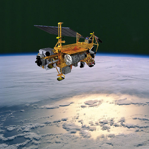
Upper Atmosphere Research Satellite (UARS)
Status:
Completed
Mission Category:
Other
Launch Date: September 12, 1991
Launch Location: Cape Canaveral, FL
Designed Life: September 12, 1994
Actual Completion Date: December 15, 2005
After a 14-year deployment on a mission to collect data on Earth's atmosphere and its interactions with the Sun, NASA's Upper Atmosphere Research Satellite (UARS) ceased operations on December 12, 2005. Launched from the Space Shuttle Discovery on September 15, 1991, the seven-ton spacecraft orbited the Earth more than 78,000 times, using 10 onboard scientific instruments to collect data on a variety of chemicals, including carbon dioxide, ozone, chlorine, methane, nitrogen oxides and chlorofluorocarbons.
As a result, scientists have gained a better understanding of the energy input, chemistry and dynamics of the upper atmosphere and the coupling between the upper and lower atmosphere. As the first satellite dedicated to studying stratospheric science, UARS focused on the processes that lead to ozone depletion, complementing and amplifying the measurements of total ozone made by the Total Ozone Mapping Spectrometer (TOMS) onboard NASA's Nimbus-7 and the Russian Meteor-3 satellites. UARS also measured winds and temperatures in the stratosphere, as well as the energy input from the Sun, research that is now being applied to improve weather forecasting models and help scientists understand the forces behind global climate change.
Before UARS, little was known about the atmospheric region between 80 kilometers and 300 kilometers above the Earth, since radio-equipped balloons would explode at that altitude, and ordinary satellites burn up. UARS orbited at a safe 600-kilometer altitude, aiming its cameras at the atmosphere below. Although the mission was originally intended to last only 3 years, its deployment was long enough to observe an entire 11-year solar cycle. Some of the mission’s most important contributions came from the four instruments onboard that measured concentrations and distribution of gases important to ozone depletion, climate change and other atmospheric phenomena. Data collected from UARS offered conclusive evidence that chlorine in the atmosphere - originating from human-produced chlorofluorocarbons - is at the root of the ozone hole.
In all, the ten UARS instruments have provided the most complete data on upper atmospheric energy inputs, winds, and chemical composition ever gathered. Together, these observations constitute a highly integrated investigation of the nature of the upper atmosphere, and help define the role of the upper atmosphere in climate and climate variability. In its first two weeks of operation, UARS data confirmed the polar ozone-depletion theories by providing three-dimensional maps of ozone and chlorine monoxide near the South Pole during development of the 1991 ozone hole.
Moreover, UARS collected data on the chemistry, dynamics and radiative inputs to the upper atmosphere far beyond its designed lifetime. UARS was designed to last 18 months, but upgrades extended its life for years beyond its expected lifespan. The United Kingdom and Canada both provided instruments for this mission, the first spacecraft launched as part of NASA’s systematic, comprehensive study of the Earth system.
NASA has no plans to recover the UARS spacecraft, which will continue to passively orbit Earth until it re-enters the planet’s atmosphere and burns up in 2009 or 2010.
Key Upper Atmosphere Research Satellite Facts
| Mission/Portal Page: | http://science.nasa.gov/missions/uars/ |
|---|---|
| Altitude:Distance from sea level. | 585km |
| Inclination: | 57° |
| Instruments: |
ACRIM (Active Cavity Radiometer Irradiance Monitoring) CLAES (Cryogenic Limb Array Etalon Spectrometer) HALOE (Halogen Occultation Experiment) HRDI (High Resolution Doppler Imager) ISAMS (Improved Stratospheric and Mesospheric Sounder) MLS (Microwave Limb Sounder) PEM (Particle Environment Monitor) SOLSTICE (Solar Stellar Irradiance Comparison Experiment) SUSIM (Solar Ultraviolet Spectral Irradiance Monitor) WINDII (Wind Imaging Interferometer) |
| Project Scientist(s): |
Mark Schoerberl |
Relevant Science Focus Areas:
- Atmospheric Composition
- Carbon Cycle, Ecosystems, and Biogeochemistry
Relevant Science Questions:
- How is the global Earth system changing?