- Home
- Missions
- Data
- Communications
- People
- The Earth Observer Newsletter
Recent Imagery
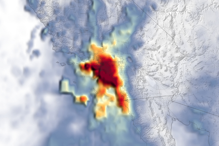
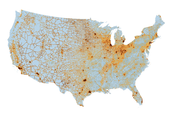
You will be directed to the NASA Visible Earth webpage when you select Images by Mission below, or click on the images at right that are randomly generated to represent four out of all possible topics.
The Earth Observer: Jan - Feb, 1997
In This Issue
Click title below to view page
SCIENCE MEETINGS
Minutes of the EOSDIS Panel Meeting ............................ 3
Stratospheric Aerosol and Gas Experiment Ill (SAGE Ill) ............ 7
The International Land-Surface Temperature Workshop .............. 10
EOS Radiometric Measurement Comparisons at NEC Corporation and Mitsubishi Electric Corporation ...... 15
ARTICLES
Virtually Hawaii: Earth Remote Sensing Data For Tourists ...... 21
ANNOUNCEMENTS
Education Resources On The Internet ....... 9
Closing of the NASA Marshall DAAC and Reallocation of Data Sets ..... 18
LinkWinds new version, 2.2 is now available ....... 20
Satellite Remote Sensing Measurement Accuracy, Variability, and Validation Studies .... 22
Science Calendar ...... 23
Global Change Calendar ....... 23
Editor's Corner
Michael King—EOS Senior Project Scientist
On March 18, Mr. William Townsend, acting Associate Administrator for the Office of Mission to Planet Earth, announced the selection of winning proposals for endto- end science missions known as Earth System Science Pathfinders (ESSP). Under the terms of the competition, these ESSP proposals included not only instruments and data analysis, but also spacecraft, launch vehicle, and satellite command and control systems, and were cost capped at $60 M for the first mission and $90 M for the second mission. These principal investigator-led missions are to be developed from approval to launch in just 3 years (for the first mission) with little direct NASA oversight, and are expected to yield exciting new science that complements, but does not duplicate, NASA Earth Observing System (EOS).
The Vegetation Canopy Lidar (VCL) mission, led by Prof. Ralph Dubayah of the University of Maryland, College Park, will provide the first global inventory of the vertical structure of forest canopies across the Earth using a multibeam laser-ranging lidar system.
Read more...
