- Home
- Missions
- Data
- Communications
- People
- The Earth Observer Newsletter
Recent Imagery
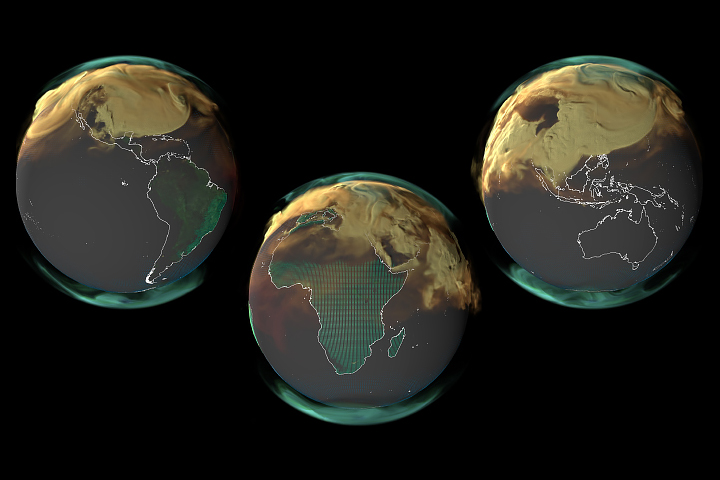
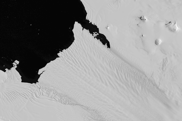
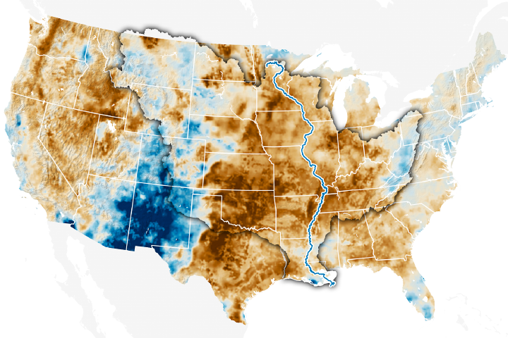
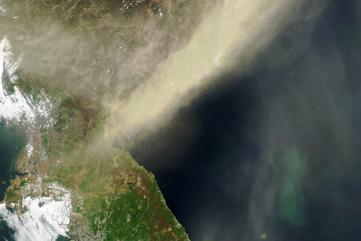
You will be directed to the NASA Visible Earth webpage when you select Images by Mission below, or click on the images at right that are randomly generated to represent four out of all possible topics.
Announcements and Highlights
You are here
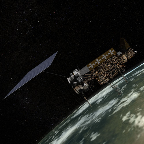
NOAA-19 (NOAA-N)
Status:
Current
Mission Category:
Inter-Agency Partnerships
Launch Date: May 20, 2005
Launch Location: Vandenberg Air Force Base, CA
NOAA-N (POES-N, NOAA-19) launched May 20, 2005 and is a polar-orbiting satellite developed by NASA for the National Oceanic and Atmospheric Administration (NOAA). NOAA-N collects information about Earth’s atmosphere and environment to improve weather prediction and climate research across the globe.
When NOAA's Joint Polar Satellite Series (JPSS), which features next-generation technology, including a sophisticated ground system, became the new primary mission from the low Earth orbit, the older satellites—NOAA-15, NOAA-18 and NOAA-19 (known as NOAA-N before launch)—began providing complementary data.
NOAA-N is the 15th in a series of polar-orbiting satellites dating back to 1978. NOAA uses two satellites, a morning and afternoon satellite, to ensure every part of the Earth is observed at least twice every 12 hours.
Severe weather is monitored and reported to the National Weather Service which broadcasts the findings to the global community. With the early warning, effects of catastrophic weather events can be minimized.
NOAA-N also has instruments to support an international search-and-rescue program. The Search and Rescue Satellite-Aided Tracking System, called COPAS-SARSAT, transmits to ground stations the location of emergency beacons from ships, aircraft and people in distress around the world. The program, in place since 1982, has saved about 18,000 lives.
NOAA-N is the first in a series of polar-orbiting satellites to be part of a joint cooperation project with the European Organisation for the Exploitation of Meteorological Satellites (EUMESTAT).
NOAA-N’ (NOAA-N prime) will be the last in the series of TIROS ATN. NOAA-N’ has a planned launch date of February 2009 from Vandenberg AFB, CA by a Delta II launch vehicle.
The spacecraft will continue to provide a polar-orbiting platform to support (1) environmental monitoring instruments for imaging and measuring the Earth’s atmosphere, its surface, and cloud cover, including Earth radiation, atmospheric ozone, aerosol distribution, sea surface temperature, and vertical temperature and water profiles in the troposphere and stratosphere; (2) measurement of proton and electron flux at orbit altitude; (3) data collection from remote platforms; and (4) the Search and Rescue Satellite-Aided Tracking (SARSAT) system.
Additionally, NOAA-N’ is the fifth in the series of support dedicated microwave instruments for the generation of temperature, moisture, surface, and hydrological products in cloudy regions where visible and infrared (IR) instruments have decreased capability.
Key NOAA-19 Facts
| Instruments: |
AMSU-A (Advanced Microwave Sounding Unit-A) AVHRR/3 (Advanced Very High Resolution Radiometer) DCS/2 (Data Collection System) DDR (Digital Data Recorder) HIRS/3 (High Resolution Infrared Radiation Sounder) MHS (Microwave Humidity Sounder) SARP (Search and Rescue Processor) SARR (Search and Rescue Repeater) SBUV/2 (Solar Backscatter Ultraviolet Radiometer) SEM-2 (Space Environment Monitor) |
|---|
Relevant Science Focus Areas:
- Weather
Relevant Science Questions:
- How is the global Earth system changing?
- What are the primary forcings of the Earth system?
Related Applications:
- Weather Prediction