

Welcome to a new era for The Earth Observer newsletter! Our 35th anniversary also marks the official public release of our new website. Over the past year and a half, The Earth Observer has migrated from a print publication (the last printed issue was November–December 2022) to publishing PDFs online only (final PDF issue published in May 2024) to publishing individual articles on our new site. While this move shifts The Earth Observer’s format to be more in line with that of other online publications, our intent is for the content to remain distinctive. Readers can expect to continue receiving the same quality reporting on NASA Earth Science activities that they have come to depend on from The Earth Observer for over 35 years.
Read More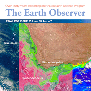
NASA's Earth Observing System Project Science Office
NASA’s Earth Observing System (EOS) is a coordinated series of polar-orbiting and low inclination satellites for long-term global observations of the land surface, biosphere, solid Earth, atmosphere, and oceans. As a major component of the Earth Science Division of NASA’s Science Mission Directorate, EOS enables an improved understanding of the Earth as an integrated system. The EOS Project Science Office (EOSPSO) is committed to bringing program information and resources to the Earth science research community and the general public alike.
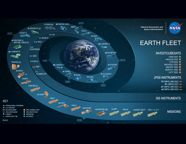
Download ChartEarth Science Mission Profiles
This website has been designed to cover not just the original Earth Observing System (EOS) missions, but also all of NASA’s Earth-observing satellite missions (many of them joint with other nations and/or agencies), along with other elements of NASA’s Earth Science program. The EOSPSO is funded through the Earth Science Division of NASA’s Science Mission Directorate.
NASA Earth Science Division Missions
Updated: September 26, 2022