
You are here
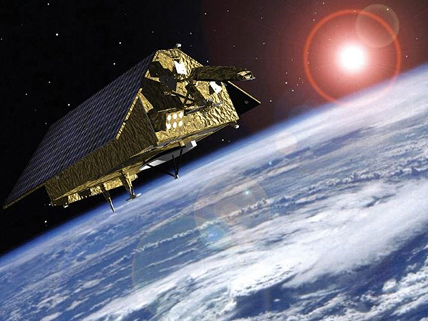
Sentinel-6 Michael Freilich
Status:
Current, Prime Mission
Mission Category:
Earth Systematic Missions Program, Inter-Agency Partnerships
Launch Date: November 21, 2020
Launch Location: Vandenberg
Sentinel-6 Michael Freilich aims to continue high precision ocean altimetry measurements in the 2020–2030 time-frame using two successive, identical satellites, Sentinel-6A Michael Freilich and Sentinel-6B.
A secondary objective of Sentinel-6 Michael Freilich is to collect high resolution vertical profiles of temperature, using the GNSS Radio-Occultation sounding technique, to assess temperature changes in the troposphere and stratosphere and to support Numerical Weather Prediction.
Information on this page courtesy of http://www.eumetsat.int/website/home/Satellites/FutureSatellites/Coperni...
Key Sentinel-6 Michael Freilich Facts
| Mission/Portal Page: | https://www.nasa.gov/sentinel-6 |
|---|---|
| Launch Vehicle: | SpaceX Falcon 9 rocket |
| Altitude:Distance from sea level. | 1366km |
| Inclination: | 66° |
| Origination: | ESA/CNES/COM/EUMETSAT/NASA/NOAA |
| Instruments: |
AMR-C - AMR-C Climate-quality microwave radiometer
DORIS-NG - Doppler Orbitography and Radio-positioning Integrated by Satellite-NG
GNSS POD Receiver - GNSS POD Receiver
LRA (Sentinel-6) - Laser Retroreflector Array (Sentinel-6)
Poseidon-4 Altimeter - Poseidon-4 SAR Radar Altimeter
TriG - TriG Receiver for Radio Occultation |
| Other Key Personnel: |
Steve Neeck Nadya Vinogradova Shiffer |
Relevant Science Focus Areas:
- Measurements of global sea surface height