
You are here
Ice, Cloud, and land Elevation Satellite-2 (ICESat-2)
Status:
Current, Extended Mission
Mission Category:
Earth Systematic Missions Program, Decadal Survey 2007
Launch Date: September 15, 2018
Launch Location: Vandenberg Air Force Base
Designed Life: September 15, 2021
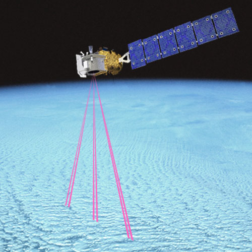
The Ice, Cloud, and Land Elevation Satellite-2 (ICESat-2) mission is one of the first four missions recommended for launch by NASA by the U.S. National Research Council (NRC) within Earth Science and Applications from Space: National Imperatives for the Next Decade and Beyond. The ICESat-2 mission will provide elevation measurements over the Greenland and Antarctica ice sheets to quantify changes in ice-sheet mass, the mechanisms that drive that change (variations in accumulation, changes in ice melt, or ice flow acceleration/deceleration), and the impact of these changes on future global sea level; monitor changes in sea-ice thickness to examine ice-ocean-atmosphere exchanges of energy, mass, and moisture; and measure vegetation canopy height as a basis for estimating large-scale biomass and biomass change.
Key Ice, Cloud, and land Elevation Satellite-2 Facts
| Mission/Portal Page: | https://nsidc.org/data/icesat-2 |
|---|---|
| Launch Vehicle: | Delta II |
| Altitude:Distance from sea level. | 481km |
| Inclination: | 92° |
| Instruments: |
ATLAS (Advanced Topographic Laser Altimeter System) GPSP (Global Positioning System Payload) |
| Project Scientist(s): |
Thorsten Marcus |
| Deputy Project Scientist(s): |
Thomas Newman |
| Program Scientist(s): |
Thomas Wagner |
| Other Key Personnel: |
Richard Slonaker |
Related Publications:
- ICESat-2 Mission Brochure (iBooks - 8.82 MB)
Relevant Science Focus Areas:
- Climate Variability and Change
- Earth Surface and Interior
- Water and Energy Cycles
Relevant Science Questions:
- How are global ecosystems changing?
- How can climate variations induce changes in the global ocean circulation?
- How is the global sea level affected by natural variability and human-induced change in the Earth system?
- How will future carbon cycle dynamics and terrestrial and marine ecosystems change in the future?
- What changes are occurring in the mass of the Earth’s ice cover?
Science Goals:
- Quantify how much melting ice sheets in Greenland and Antarctica contribute to sea level changes.
- Quantify how ice sheets, glaciers, and more are gaining or losing mass at a regional level, to help researchers understand the mechanisms behind those changes.
- Estimate the thickness of sea ice and monitor any changes.
- Measure the height of vegetation in forests and other ecosystems worldwide.
Related Applications:
- Air Quality
- Carbon Management
- Coastal Management
- Ecological Forecasting
- Water Management