

Recent Imagery
You will be directed to the NASA Visible Earth webpage when you select Images by Mission below, or click on the images at right that are randomly generated to represent four out of all possible topics.
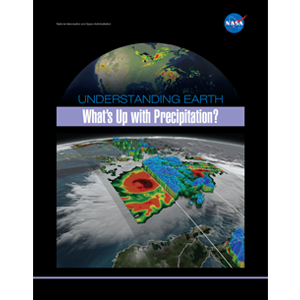
Understanding Earth: What's Up with Precipitation?
Precipitation is any product of the condensation of atmospheric water vapor that falls quickly from a cloud. The main forms of precipitation include drizzle, rain, sleet, snow, grapple (soft hail or snow pellets), and hail. Today, scientists can measure precipitation directly—using ground-based instruments such as rain gauges—or indirectly—using remote sensing techniques (e.g., from radar systems, aircraft, and Earth-observing satellites). This brochure describes how satellite observations—often combined with other measurements taken on the ground or from aircraft—provide frequent estimates of precipitation at a global scale. Among other uses, precipitation datasets from NASA are used for forecasting tropical cyclones; monitoring soil moisture conditions and freshwater availability; and predicting flood and drought conditions, landslides, crop yields, and water-related illnesses.

