


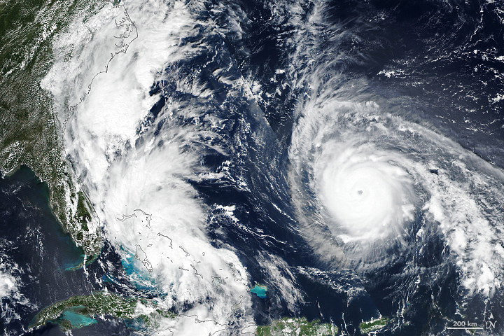
Recent Imagery
You will be directed to the NASA Visible Earth webpage when you select Images by Mission below, or click on the images at right that are randomly generated to represent four out of all possible topics.

You are here
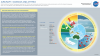
Seadler 8.2.18 - ATTREX Infographic - DRAFT v2
Thumbnail Image:
File:
Description:
Infographic 4 of 7 in a series for Jack Kaye and Bruce Tagg that show the value of airborne science to Earth science research. Each infographic covers a different airborne campaign and provides a few things we wouldn't have known without its aircraft data. This version is a draft. Changes that will be made include: changing the way the molecules look in the illustration and attempting to update the sensors list to more clearly show what each sensor helped measure.
Publication Type:
Year (YYYY):
2 018