Description:
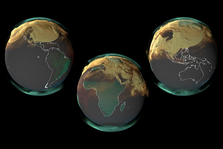
NASA’S Studies of Emissions and Atmospheric Composition, Clouds, and Climate Coupling by Regional Surveys (SEAC4RS) campaign studied how aerosols are injected into and influence upper tropospheric and lower stratospheric composition and chemistry. The campaign sought to answer:
− How does deep convection distribute aerosol particles and gases, including pollutants, in the atmosphere?
− How do gases and aerosols influence atmospheric chemistry and climate?
During multiple regional flights across the southeastern and southwestern United States, NASA incorporated measurements from satellites, research aircraft, weather balloons, and ground sites to measure atmospheric convection, composition, and chemistry. In particular, SEAC4RS examined the role of pollution, large urban centers, agricultural fires, and areas of intense isoprene emissions in the southeastern United States, as well as wildfires and the North American monsoon in the southwestern United States.


